
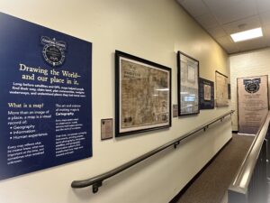
“Charting Change: History of Butler County Ohio Through Maps”
Maps allow us to see how Butler County evolved, and how the people who lived here shaped the landscape. From the first surveys to today’s digital technology, Butler County’s maps tell a story of land, people, transportation, industry, communities, and change.
Every map has a story.
Every place has a history.
Look closely and discover Butler County.
Open now through the end of 2026.